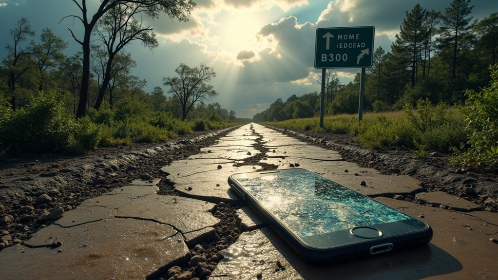
GPS is a vital tool in emergencies, but its reliability can significantly decrease after major disasters. Disruptions such as signal interference and damaged infrastructure can hinder satellite access, complicating accurate positioning. When you can’t connect with at least four satellites, GPS may not be dependable for navigation and rescue operations, which is crucial for survivalists and responders. Recognizing these limitations is essential for your preparedness. Interested in exploring innovations and strategies to improve GPS reliability when you need it most?
Key Takeaways
- GPS signals can be significantly disrupted by natural disasters, which compromises their reliability for accurate navigation and positioning in critical situations.
- Debris, damaged infrastructure, and environmental changes can obstruct satellite signals, resulting in diminished GPS performance when you need it most during emergencies.
- Communication delays may impede timely access to GPS data, complicating rescue efforts and increasing risk in disaster zones.
- While enhanced GPS technology is being developed to improve signal resilience and accuracy in post-disaster situations, it’s essential to remain cautious and prepared.
- Survivalists should always have alternative navigation methods, such as maps and compasses, readily available due to the potential unreliability of GPS after disasters.
Understanding GPS Functionality in Emergencies
When a major disaster strikes, understanding how GPS functions becomes crucial for effective survival and emergency preparedness. GPS technology relies on signals from at least four satellites, ensuring accurate positioning that’s vital for navigating chaotic environments.
Enhanced GPS support can help penetrate obstacles like debris, allowing individuals and emergency responders to locate victims or resources efficiently. The 2nd Space Operations Squadron operates 31 active satellites that transmit essential navigation data at approximately 300,000 kilometers per second.
This capability provides real-time location data, significantly shortening response times and improving coordination among those involved in crisis management. Ultimately, being prepared for disasters hinges on the reliable functionality of GPS, making it an indispensable tool for survivalists and preppers in emergencies.
Challenges to GPS Reliability After Disasters
While GPS technology has revolutionized navigation, its reliability often falters in the aftermath of major disasters, which is a crucial consideration for survivalists and preppers.
Natural disasters like earthquakes and hurricanes can severely disrupt GPS signals, making accurate location data harder to obtain when it’s needed most. Debris and damaged infrastructure can obscure satellite signals, which are essential for emergency responders and individuals relying on precise positioning during disaster relief efforts.
Natural disasters can disrupt GPS signals, complicating navigation and rescue efforts when accurate location data is critical.
Without clear access to at least four satellites, GPS reliability diminishes considerably, putting you at a disadvantage in critical situations.
Moreover, communication challenges may delay timely GPS data, further complicating rescue missions and navigation.
As a preparedness-minded individual, it’s vital to recognize these limitations when depending on GPS technology in post-disaster scenarios. Always ensure you have alternative navigation options available, such as maps, compasses, and land navigation skills, to enhance your chances of survival when technology fails.
The Importance of Signal Strength and Satellite Access
When disaster strikes, signal interference and limited satellite access pose significant challenges for survivalists and preppers who rely on GPS for navigation and situational awareness.
To ensure accurate positioning, a clear line of sight to at least four satellites is essential; however, debris and damaged infrastructure can obstruct these signals in crisis scenarios.
Understanding these limitations is crucial for those preparing for emergencies, as reliable GPS access can greatly enhance your ability to make informed decisions and execute effective survival strategies.
Signal Interference Challenges
While GPS technology has transformed the way we navigate, its reliability can significantly falter during major disasters due to signal interference challenges. In survival situations, debris and structural damage can obstruct satellite visibility, leading to reduced accuracy in GPS signals.
To accurately determine your location, you typically require signals from at least four satellites orbiting the Earth. However, in chaotic environments such as post-disaster scenarios, physical obstacles frequently impede access to these critical signals.
For preppers and survivalists, understanding these limitations is essential. While enhanced GPS signal power may improve penetration capabilities, the surrounding debris often makes it difficult to receive clear signals.
In emergencies, effective GPS support can drastically reduce response times by offering clearer geographical bearings, allowing first responders and individuals to navigate efficiently through the turmoil. Being aware of these challenges is vital for effective disaster preparedness and management.
Satellite Coverage Limitations
Debris and damaged infrastructure not only hinder GPS signal visibility but also limit satellite coverage, which is essential for accurate positioning during survival situations.
When considering the challenges faced by preppers and survivalists, remember that:
- Accurate GPS tracking relies on signals from at least four satellites, which can be compromised in disaster scenarios.
- Natural disasters create obstacles that can degrade signal strength, making navigation difficult.
- Satellite coverage limitations can delay the retrieval of critical location data, impacting emergency preparedness.
In these situations, reliable satellite access becomes paramount for survival.
Enhanced GPS support is necessary to ensure that individuals can navigate effectively, locate resources, and provide aid without unnecessary complications.
Being aware of these limitations is vital for anyone serious about prepping and survival strategies.
Role of GPS in Emergency Response Coordination
When disaster strikes, real-time location data from GPS technology becomes critical for effective emergency response coordination in survival situations.
It enables preppers to monitor the whereabouts of responders and fellow survivalists, ensuring that aid and resources reach those who need them most without unnecessary delays.
Enhanced communication systems further bolster this capability, facilitating collaboration among various survival groups and agencies, and streamlining the overall response effort in times of crisis.
Real-time Location Data
As GPS technology continues to evolve, its role in survivalism and prepping becomes increasingly essential during major disasters.
Real-time location data enhances personal safety and preparedness by enabling:
- GPS tracking of survival teams, ensuring they can reach those in need promptly.
- Improved navigation through disaster zones, even when debris blocks traditional pathways, allowing for effective resource distribution.
- Ideal route planning for evacuation or supply runs, factoring in live traffic updates to minimize delays and ensure quick access to essentials.
Enhanced Communication Systems
Enhanced communication systems, which integrate GPS technology, play a vital role in survivalism and prepping by significantly improving emergency response coordination. These systems allow for real-time tracking of first responders, which is crucial during crises. This capability enhances situational awareness, enabling prepper groups to share precise locations and receive timely updates about unfolding events. By optimizing routing to disaster sites, these systems help reduce response times, which is essential for survival scenarios.
| Aspect | Benefit |
|---|---|
| GPS Tracking | Real-time location data for responders |
| Enhanced Communication Systems | Improved coordination among prepper groups |
| Response Team Monitoring | Simultaneous status updates for all members |
| Resource Allocation | Efficient deployment of supplies and assets |
| Situational Awareness | Better decision-making in emergencies |
Leveraging these systems is crucial for effective disaster preparedness and response.
Enhancing GPS Technology for Disaster Situations
While traditional GPS systems are essential for everyday navigation, their enhancement for disaster preparedness and survival situations represents a significant leap in effective emergency response.
Here’s how enhanced GPS technology can bolster survival efforts:
- Signal Reliability: Improved signal penetration allows survivalists and first responders to locate individuals and resources efficiently, even in debris-laden environments.
- Real-Time Tracking: Cutting-edge innovations enable GPS tracking of emergency supplies and personnel, ensuring optimal response times and resource allocation during crises.
- Geographic Guidance: Advanced location tracking delivers precise data, helping survivalists navigate treacherous terrains and hazardous conditions effectively.
These advancements ensure that critical resources remain accessible, significantly enhancing resilience and preparedness in chaotic post-disaster scenarios.
Future Innovations in GPS for Improved Safety
With the rapid evolution of GPS technology, future innovations hold significant promise for enhancing safety during emergencies, which is crucial for survivalists and preppers.
Enhanced GPS tracking will provide improved location accuracy, enabling quicker identification of disaster-affected areas, allowing preppers to plan their response effectively.
Enhanced GPS tracking will boost location accuracy, enabling preppers to swiftly identify disaster zones and strategize their response effectively.
Advanced GPS devices will automate distress signal transmission, alerting emergency services immediately when you’re in danger, ensuring that help can arrive as quickly as possible.
Self-driving vehicles will harness these advancements to prevent accidents and assist during emergencies, providing an additional layer of safety for those who are prepared.
Moreover, GPS-guided drones will revolutionize disaster response by delivering essential supplies to hard-to-reach locations, making them invaluable for preppers who understand the importance of resource accessibility.
Ongoing research is focused on strengthening signal resilience in disaster-stricken areas, ensuring reliable connectivity for disaster responders and ultimately helping to save lives when it matters most, a key principle for anyone invested in survivalism and prepping.